
Poverty Flat Camps
CampgroundCalifornia, United StatesNo reviews yet

 Imagery: USGS / CopernicusOpen in Map
About this site
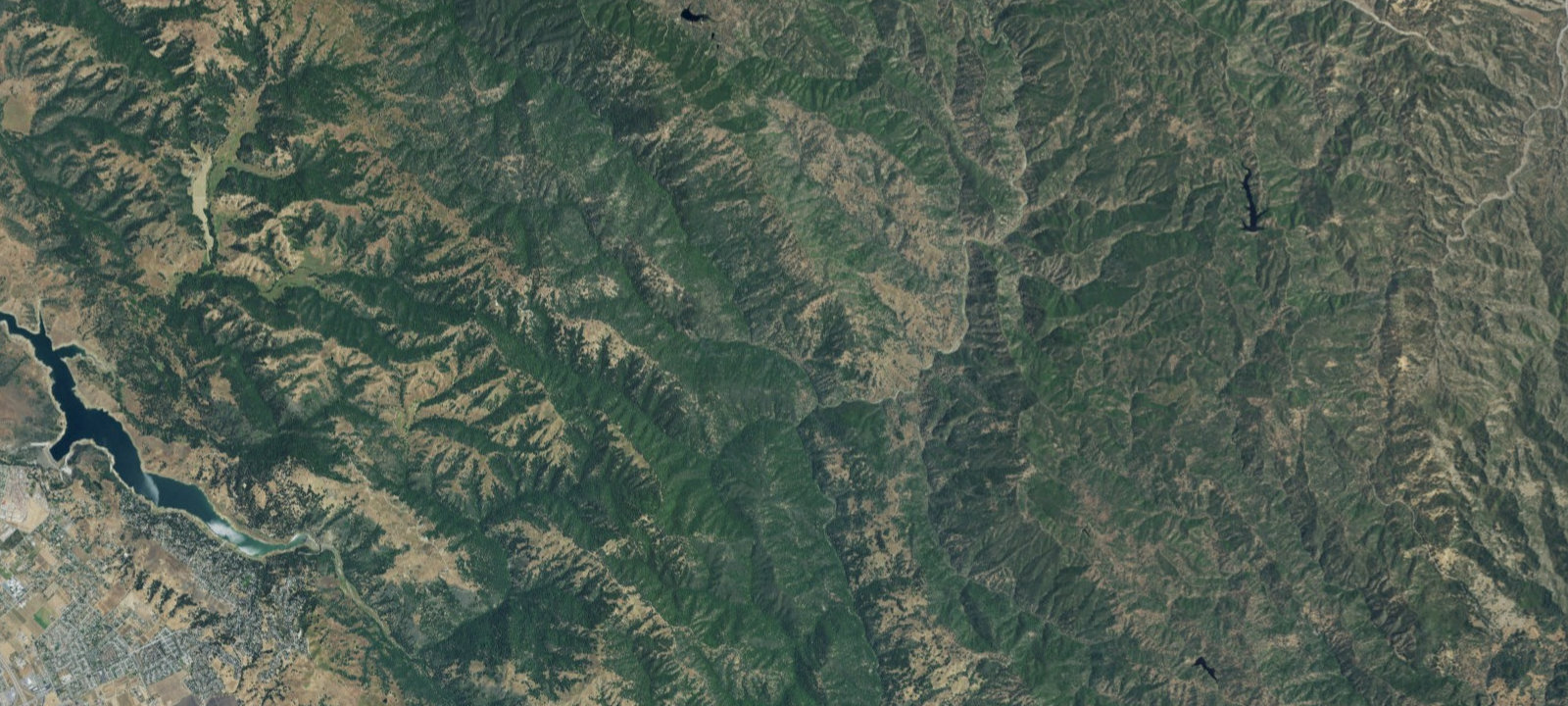
The Middle Fork of Coyote Creek runs through Poverty Flat, which is nestled in the canyon between Pine Ridge and Middle Ridge. The five backpack sites in the area are spread out along the rocky creek and are pleasantly shaded by large oaks and sycamore trees. In wet years, the creek flows throughout the spring, and in the summer and early fall scattered pools of water remain in the creek bed. In drought years, when the creek-bed is dry, you can usually find pools of water about a half mile upstream.
Amenities & access
Amenities
- Toilets
Contact
Location
37.180482, -121.500732
Elevation · 1,257 ft
Weather



Reviews
No reviews yet. Be the first to review Poverty Flat Camps.
More campsites in California
Browse campgrounds in CaliforniaBlue Jay Campground
CampgroundCalifornia, United States5.0Headquarters
CampgroundCalifornia, United StatesFort Miller and Dumna Strands Loops (sites 38-84)
CampgroundCalifornia, United StatesRedwood Coast Cabins & RV Resort
CampgroundCalifornia, United StatesPaiute Yellow Post Site #11
Wild CampingCalifornia, United StatesJoshua Tree North Dispersed Camping Area
Wild CampingCalifornia, United States


Camp smarter with the Campsite app
Save Poverty Flat Camps to a list, get directions, leave a review, and explore thousands more campsites on the map.

