
Nataiinlaii Territorial Park

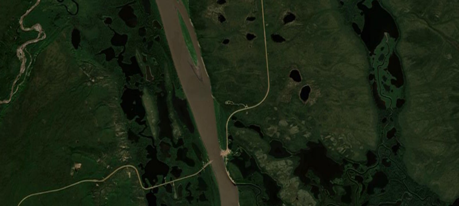
 Imagery: USGS / CopernicusOpen in Map
About this site
Nataiinlaii Territorial Park (NWT Hwy 8, km 76) is located 1 km north of the Peel River ferry crossing, 9 km south of the hamlet of Fort McPherson and 195 km north of the Yukon border. Surrounded by stands of white birch and white spruce trees, the campground is perched on a cliff overlooking the Peel River. Its tranquil beauty makes it the ideal place to unwind during a long journey along the Dempster Highway. There is no internet access at this park and no online reservations, campsites are available by self-registration upon arrival to the park. Additional Info: 22-23 non-powered sites with picnic tables, fire pits, and firewood. Features washrooms, kitchen shelter, drinking water, and on-site security. Visitor centre provides information on local Gwich’in culture.
Amenities & access
Access
- Drive-in access
Amenities
- Toilets
- Fire Rings
- Clean Water
Contact
Location
67.351161, -134.868914
Elevation · 131 ft
Weather



Reviews
No reviews yet. Be the first to review Nataiinlaii Territorial Park.
More campsites in Northwest Territories
Browse campgrounds in Northwest TerritoriesFort Simpson Territorial Park
CampgroundNorthwest Territories, CanadaAurora Nights Lodge
BackcountryNorthwest Territories, CanadaCamping Area
CampgroundNorthwest Territories, CanadaVadzaih Van Tshik Campground
Wild CampingNorthwest Territories, CanadaFort Providence Territorial Park
CampgroundNorthwest Territories, CanadaAurora Village
CampgroundNorthwest Territories, Canada


Camp smarter with the Campsite app
Save Nataiinlaii Territorial Park to a list, get directions, leave a review, and explore thousands more campsites on the map.

