
Kephart Shelter

 Imagery: USGS / CopernicusOpen in Map
About this site
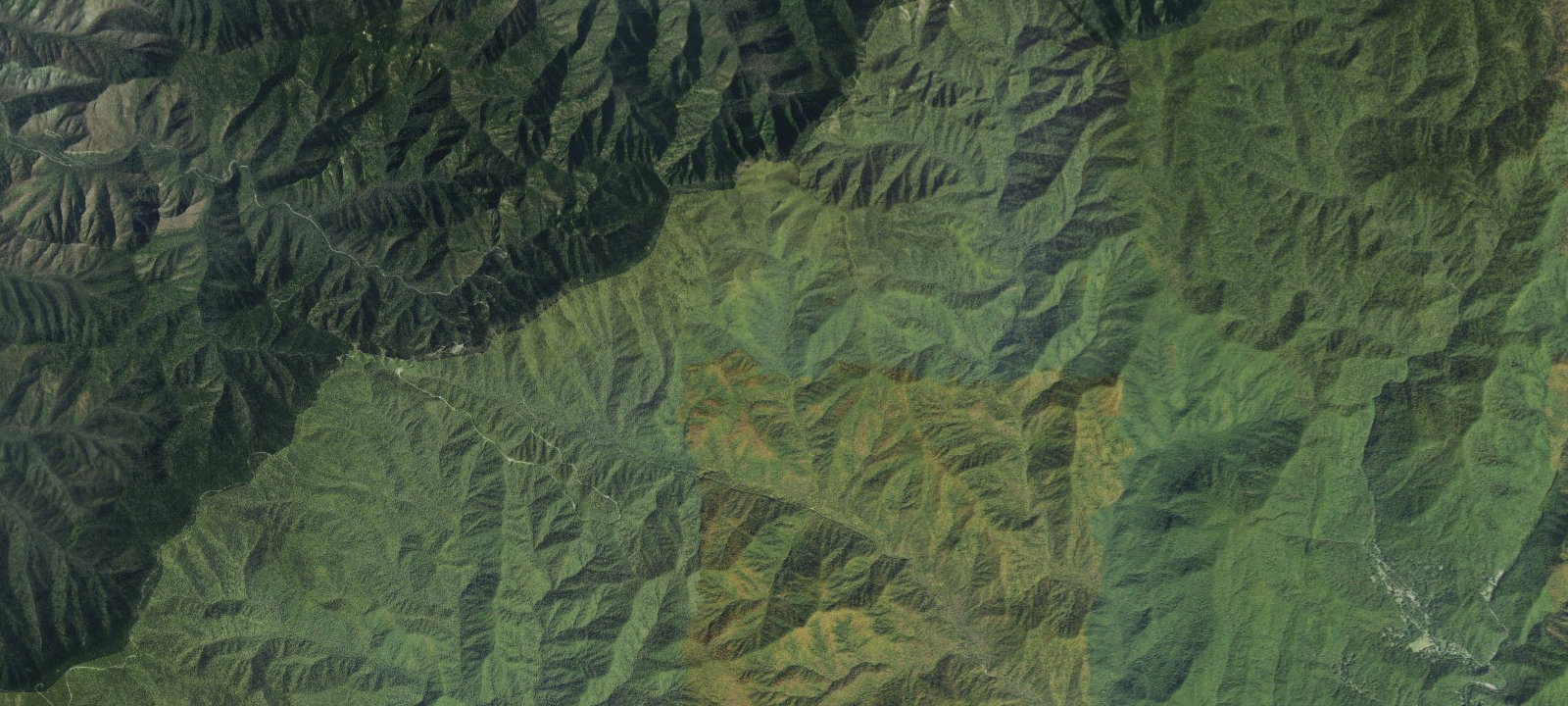
Kephart Shelter is a backcountry shelter in Great Smoky Mountains National Park located at the junction of the Kephart Prong, Sweat Heifer, and Grassy Branch trails. The shelter is reached via a 2.1-mile hike on the Kephart Prong Trail from Newfound Gap Road (US 441). The trail passes the ruins of a Civilian Conservation Corps camp (occupied 1933-1942) approximately 0.2 miles from the trailhead. The shelter sits at approximately 3,600 feet elevation in forested mountains and valleys. A backcountry permit and reservation are required to stay overnight.
Amenities & access
Access
- Hike-in access
Contact
Location
35.610149, -83.368544
Elevation · 3,681 ft
Weather



Reviews
No reviews yet. Be the first to review Kephart Shelter.
More campsites in North Carolina
Browse backcountry sites in North CarolinaHarmon Den Horse Campground
CampgroundNorth Carolina, United StatesSteeltrap #68
BackcountryNorth Carolina, United StatesMollies Ridge Shelter
BackcountryNorth Carolina, United StatesByrd's Branch Campground
CampgroundNorth Carolina, United StatesSouthern Point Campground
RV ParkNorth Carolina, United StatesGreat Smokey Mountain RV
RV ParkNorth Carolina, United States


Camp smarter with the Campsite app
Save Kephart Shelter to a list, get directions, leave a review, and explore thousands more campsites on the map.

