
Upper Walnut Bottom #36
BackcountryNorth Carolina, United StatesNo reviews yet

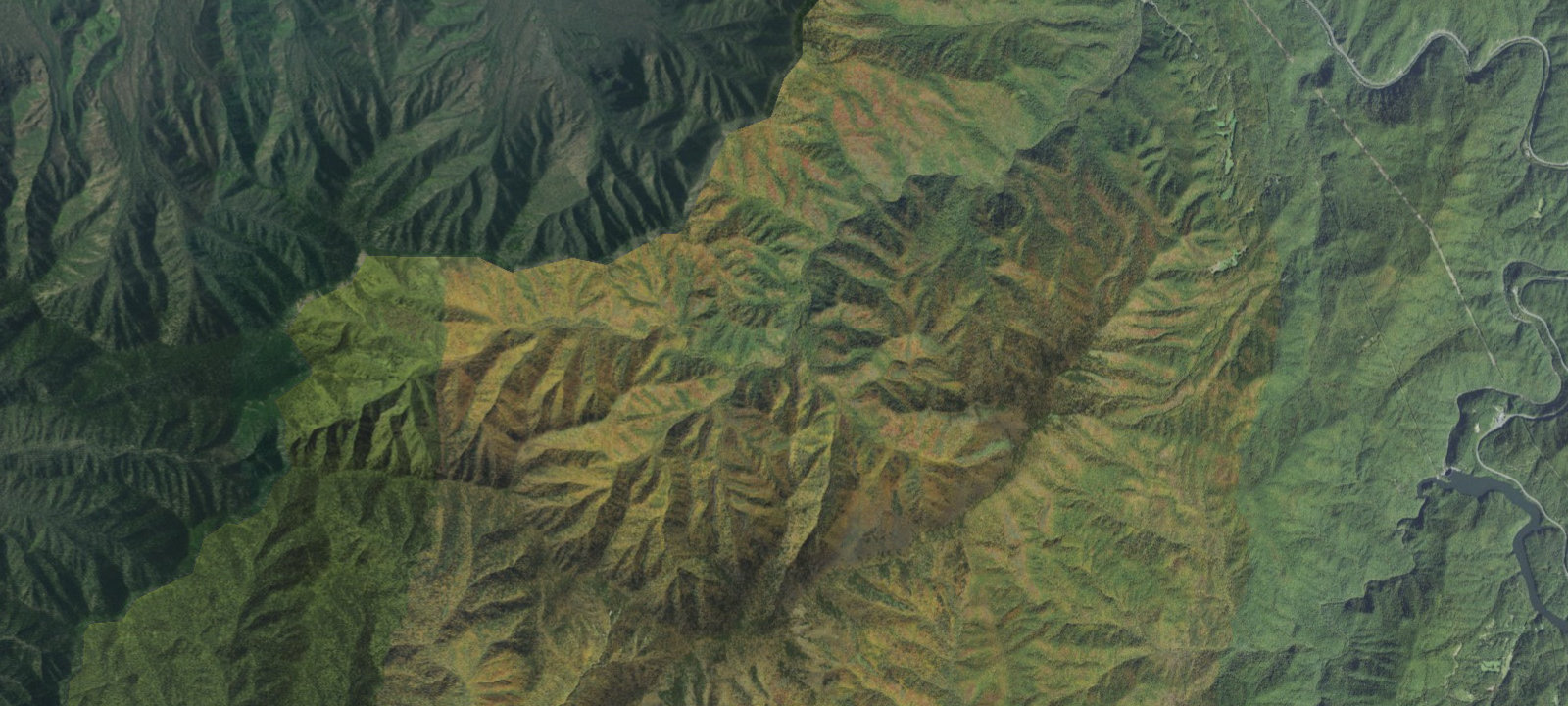
 Imagery: USGS / CopernicusOpen in Map
About this site
Upper Walnut Bottom Campsite (No. 36) is a backcountry campsite in Great Smoky Mountains National Park, located at the end of the Big Creek Trail (5.8 miles from trailhead) and junction with Camel Gap Trail. It is reserved solely for horse parties. Additional Info: Backcountry campsite at approximately 3040 ft elevation along Big Creek.
Amenities & access
Access
- Hike-in access
Contact
Location
35.711931, -83.166802
Elevation · 3,205 ft
Weather



Reviews
No reviews yet. Be the first to review Upper Walnut Bottom #36.
More campsites in North Carolina
Browse backcountry sites in North CarolinaCamp Caroline
CampgroundNorth Carolina, United StatesFamily Campground Loop C
CampgroundNorth Carolina, United StatesCamp Clearwater Family Campground
RV ParkNorth Carolina, United StatesCabin Flats
BackcountryNorth Carolina, United StatesJomeokee Campground
CampgroundNorth Carolina, United StatesSunburst
CampgroundNorth Carolina, United States


Camp smarter with the Campsite app
Save Upper Walnut Bottom #36 to a list, get directions, leave a review, and explore thousands more campsites on the map.

