
Smithsonian Butte Road

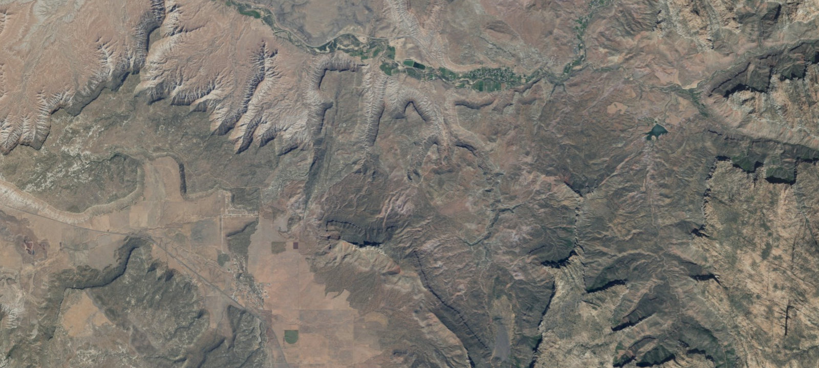
 Imagery: USGS / CopernicusOpen in Map
About this site
Smithsonian Butte Road runs south from Rockville, UT, which lies about 15 minutes away from Zion National Park. Camping is not allowed along Smithsonian Butte Road, but it is permitted along a couple of spur roads that stretch across Wire Mesa and Grafton Mesa. We put together a Smithsonian Butte Road camping map depicting these campsites. Additional Info: The Smithsonian Butte Backcountry Byway is a 9.5-mile road between Rockville and Apple Valley, UT. Free dispersed camping is available with a 0.5-mile setback from the road itself, except within Rockville town limits. The road features steep ascents and becomes impassable when wet; 4WD is recommended for reaching the top of the butte. Camping offers views of Eagle Crags and Mt. Kinesava.
Amenities & access
Access
- Drive-in access
Contact
Location
37.131334, -113.069679
Elevation · 4,413 ft
Weather


Reviews
No reviews yet. Be the first to review Smithsonian Butte Road.
More campsites in Utah
Browse wild camping spots in UtahGroup GFWC
CampgroundUtah, United StatesDry Fork Campsite 4
Wild CampingUtah, United StatesSand Flats Recreation Area CG B
Wild CampingUtah, United StatesBuckhorn Draw Campsite 32
Wild CampingUtah, United StatesGooseberry Reservoir
CampgroundUtah, United StatesJones Hole River Campsite 2
BackcountryUtah, United States


Camp smarter with the Campsite app
Save Smithsonian Butte Road to a list, get directions, leave a review, and explore thousands more campsites on the map.

