
Scales

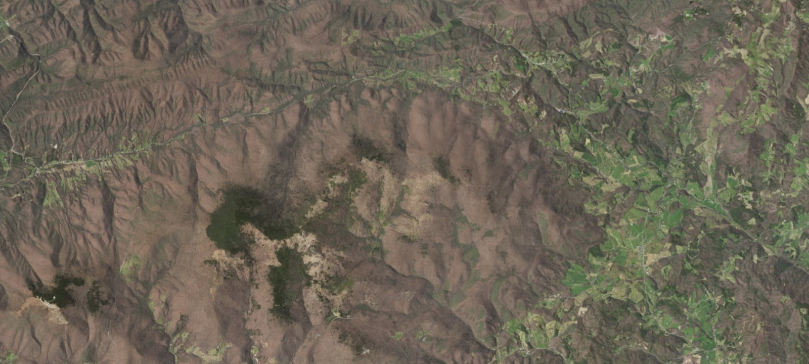
 Imagery: USGS / CopernicusOpen in Map
About this site
The Scales is a free, first-come-first-served camping area located above 5,000 feet on Pine Mountain in the Mount Rogers National Recreation Area near Troutdale, Virginia. The site features a grassy, open meadow with multiple level camping spots, fire rings, and pit-style toilets. The Appalachian Trail crosses nearby. Vehicle access is via Forest Road 613 (also known as Pine Mountain Road), a rugged forest road requiring high-clearance or four-wheel-drive vehicles. No drinking water is available on-site; bring your own water. Bear lockers are provided for food storage. Historically, this area served as a cattle-weighing station in the early 1900s, which is the origin of its name.
Amenities & access
Access
- Drive-in access
Amenities
- Toilets
- Fire Rings
Location
36.670163, -81.486545
Elevation · 4,610 ft
Weather



Reviews
No reviews yet. Be the first to review Scales.
More campsites in Virginia
Browse wild camping spots in Virginia

Camp smarter with the Campsite app
Save Scales to a list, get directions, leave a review, and explore thousands more campsites on the map.

