
LaBonte Canyon Trailhead

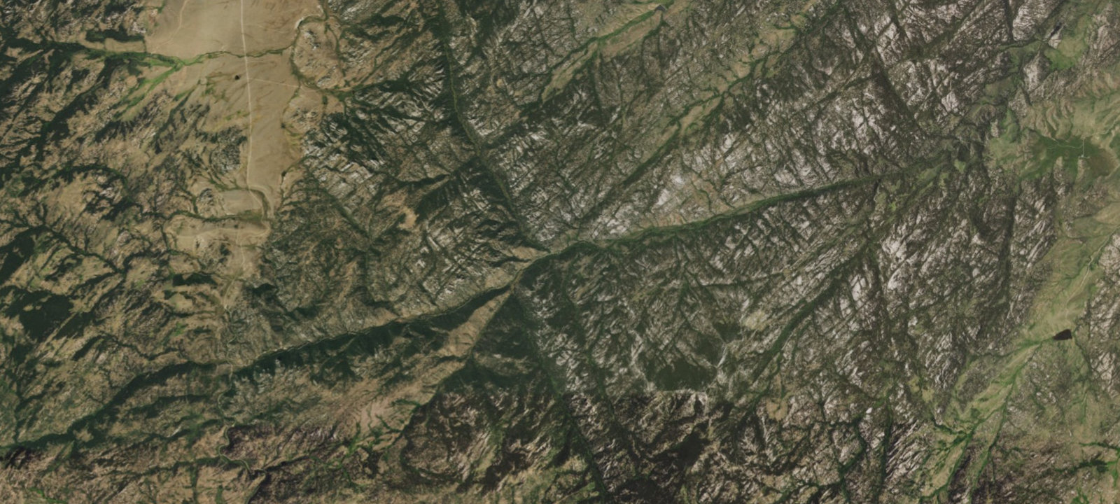
 Imagery: USGS / CopernicusOpen in Map
About this site
LaBonte Canyon Trailhead is near the entrance to Curtis Gulch Campground in LaBonte Canyon in the North Laramie Range. Steep canyon sides, along with patches of aspen and conifers, makes this area one of the most scenic on the Douglas Ranger District. The canyon bottom is about 6,000 ft in elevation and has granite rock formations for climbing and photography. No dispersed camping is allowed at Curtis Gulch trailhead or within 1/4 mile of the campground. Open season is June - October. Trail is situated within La Bonte Canyon, located 35 miles southwest of Douglas, Wyoming.
Amenities & access
Access
- Drive-in access
Amenities
- Toilets
Contact
Location
42.407646, -105.622637
Elevation · 6,719 ft
Weather


Reviews
No reviews yet. Be the first to review LaBonte Canyon Trailhead.
More campsites in Wyoming
Browse wild camping spots in WyomingSnyder Guard Station (wy)
BackcountryWyoming, United StatesWolf Lake
BackcountryWyoming, United StatesAtlantic City Campground
CampgroundWyoming, United StatesBobcat-Houlihan Campground
Wild CampingWyoming, United StatesFontenelle Creek Campsite 20
CampgroundWyoming, United StatesMallard Lake SE
BackcountryWyoming, United States


Camp smarter with the Campsite app
Save LaBonte Canyon Trailhead to a list, get directions, leave a review, and explore thousands more campsites on the map.

