
Government Landing Access
Wild CampingFreeMichigan, United StatesNo reviews yet

 Imagery: USGS / CopernicusOpen in Map
About this site
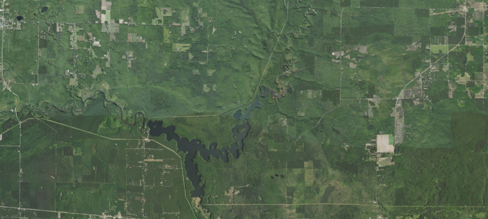
This camping area is named for Government Island. The 3 campsites are part of the Forest Services ' 41 designated dispersed sites along the Upper Manistee River. The main access road along the powerline is a snowmobile trail in the winter. Brochure with map: Manistee River This brochure is set to print on 11 x 17 paper, landscape (wide) orientation. To print on 8 1/2 x 11 paper set the print area to 'shrink to printable area ', this will make the text on the page smaller. Flickr Photo Albums Manistee River
Amenities & access
Access
- Drive-in access
Amenities
- Toilets
- Pet Friendly
- Fire Rings
Contact
Location
44.268634, -85.885515
Elevation · 810 ft
Weather


Reviews
No reviews yet. Be the first to review Government Landing Access.
More campsites in Michigan
Browse wild camping spots in MichiganSherman Park Campground
CampgroundMichigan, United StatesSandyoak RV Park
RV ParkMichigan, United StatesIsland Lake Campground
CampgroundMichigan, United StatesEn Gedi Resort & Canoe Livery
CampgroundMichigan, United StatesSun Retreats Gun Lake
RV ParkMichigan, United StatesCrooked River RV Park
RV ParkMichigan, United States


Camp smarter with the Campsite app
Save Government Landing Access to a list, get directions, leave a review, and explore thousands more campsites on the map.

