
Bryant Ridge Shelter
BackcountryFreeVirginia, United StatesNo reviews yet

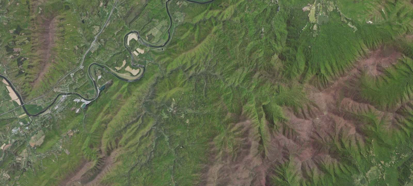
 Imagery: USGS / CopernicusOpen in Map
About this site
This is an Appalachain Trail shelter. Additional Info: Three-level timber-frame shelter with open loft design and capacity for 20 hikers. Features a unique privy 80 yards away and creek water source nearby. Maintained by Natural Bridge Appalachian Trail Club on USFS land in Jefferson National Forest.
Amenities & access
Access
- Hike-in access
Amenities
- Toilets
Contact
Location
37.530833, -79.584444
Elevation · 1,414 ft
Weather



Reviews
No reviews yet. Be the first to review Bryant Ridge Shelter.
More campsites in Virginia
Browse backcountry sites in Virginia

Camp smarter with the Campsite app
Save Bryant Ridge Shelter to a list, get directions, leave a review, and explore thousands more campsites on the map.

