
Boyce Shelter

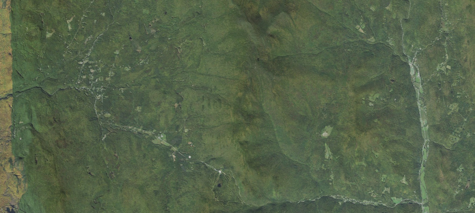
 Imagery: USGS / CopernicusOpen in Map
About this site
Shelter 3 sided Lean-to located along the Long Trail in Breadloaf Wilderness. The Burnt Hill trail climbs easily to a junction at 0.7 miles and then turns to the left. The trail continues to climb easily along an old logging road for the first 1.0 mile. Then it enters the Breadloaf Wilderness and climbs more steeply to its junction with the Long Trail at 2.1 miles. Boyce Shelter is located 0.6 miles north of the junction on the Long Trail. Maximum elevation change is 1280 feet. Please practice Leave No Trace ethics, such as carry out what you carry in. Trail blazing, maintenance, and signage will be minimal in Wilderness Areas. Additional Info: Built in 1963 by US Forest Service as a three-sided lean-to with capacity for 8. Composting toilet available. Water from nearby streams (treat or filter; may be unreliable in dry periods). Fires allowed. Pets allowed. Open year-round, first-come first-served, no fees or reservations.
Amenities & access
Access
- Hike-in access
Amenities
- Toilets
- Pet Friendly
- Fire Rings
Contact
Location
43.966870, -72.947800
Elevation · 2,897 ft
Weather



Reviews
No reviews yet. Be the first to review Boyce Shelter.
More campsites in Vermont
Browse backcountry sites in VermontBase Camp RV Park and Campground
RV ParkVermont, United StatesLakeside Camping
CampgroundVermont, United StatesSunset Rock RV Park
RV ParkVermont, United StatesCampsite #24
BackcountryVermont, United StatesCarry Bay Campground
CampgroundVermont, United StatesSmugglers Notch State Park Campground
BackcountryVermont, United States


Camp smarter with the Campsite app
Save Boyce Shelter to a list, get directions, leave a review, and explore thousands more campsites on the map.

