
Anderson's Crossing

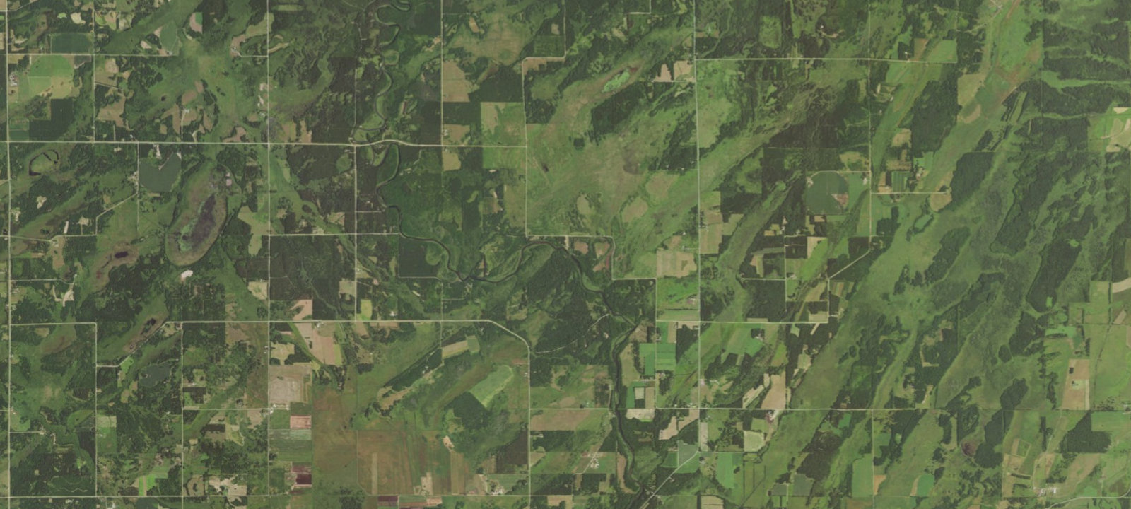
 Imagery: USGS / CopernicusOpen in Map
About this site
Additional Info: Surrounded by over 100 acres of County-owned land, this campsite allows access to the river and a number of trails for walking and hiking. Lying to the north of Nimrod, this campground was once an Indian crossing, later named for a pioneer settler, and is the beginning of the Butterfield Rapids. Despite the name, these rapids are a short series of rippling water posing little to no threat as it is navigated by tubers and canoeists. It is 5 miles to the next available landing. Not recommended for camper or RV usage.
Amenities & access
Access
- Drive-in access
Amenities
- Clean Water
Contact
Location
46.699296, -94.881801
Elevation · 1,365 ft
Weather


Reviews
No reviews yet. Be the first to review Anderson's Crossing.
More campsites in Minnesota
Browse campgrounds in MinnesotaSht- Crystal Creek
Wild CampingMinnesota, United StatesEast Bearskin Lake Campground
CampgroundMinnesota, United StatesSection 13
BackcountryMinnesota, United StatesMadelia Campground at Watona Park
CampgroundMinnesota, United StatesCrescent Lake Backcountry Site
Wild CampingMinnesota, United StatesDurfee Creek
BackcountryMinnesota, United States


Camp smarter with the Campsite app
Save Anderson's Crossing to a list, get directions, leave a review, and explore thousands more campsites on the map.

