
Abingdon Gap Shelter
BackcountryFreeTennessee, United StatesNo reviews yet

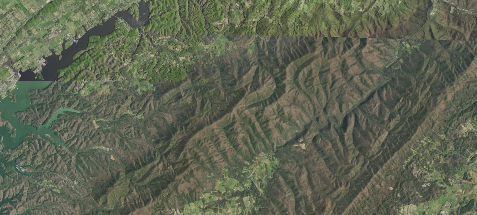
 Imagery: USGS / CopernicusOpen in Map
About this site
A.T. ABINGTON GAP SHELTER (Camping Area) Additional Info: Basic three-sided concrete block/metal roof shelter with wooden sleeping platform and picnic table out front. Located directly on the Appalachian Trail on Holston Mountain. Capacity for 5 people. Water source: spring 275 yards south down a steep blue-blazed trail (flow varies with rainfall; may dry up in summer). Privy: none. Elevation: 3,773 feet. Maintained by Tennessee Eastman Hiking and Canoeing Club on USFS Cherokee National Forest land.
Amenities & access
Access
- Hike-in access
Contact
Location
36.581129, -81.902051
Elevation · 3,891 ft
Weather



Reviews
No reviews yet. Be the first to review Abingdon Gap Shelter.
More campsites in Tennessee
Browse backcountry sites in TennesseePiney Campground
CampgroundTennessee, United States#29 Ottercreek
BackcountryTennessee, United StatesSite 5
CampgroundTennessee, United StatesHorse Creek Campground
CampgroundTennessee, United StatesA.T. Iron Mountain Shelter
BackcountryTennessee, United StatesRound Mountain Campground
CampgroundTennessee, United States


Camp smarter with the Campsite app
Save Abingdon Gap Shelter to a list, get directions, leave a review, and explore thousands more campsites on the map.

