
A.T. Muskrat Creek Shelter
BackcountryFreeNorth Carolina, United StatesNo reviews yet

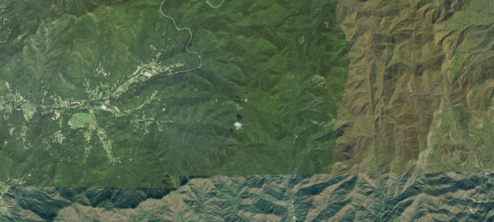
 Imagery: USGS / CopernicusOpen in Map
About this site
Shelter on the Appalachian Trail Additional Info: Appalachian Trail shelter with capacity for 7-8 people. Free to use. Located in Nantahala National Forest near the NC-GA border at mile 81.4 NOBO from Springer Mountain. Privy available. Nearby creek for water. Bear activity reported; bear canister recommended.
Amenities & access
Access
- Hike-in access
Amenities
- Toilets
Contact
Location
35.020694, -83.581340
Elevation · 4,596 ft
Weather



Reviews
No reviews yet. Be the first to review A.T. Muskrat Creek Shelter.
More campsites in North Carolina
Browse backcountry sites in North CarolinaOsprey Nest Campground
CampgroundNorth Carolina, United StatesSurf City Family Campground
CampgroundNorth Carolina, United StatesCrabtree Falls Campground
CampgroundNorth Carolina, United StatesGoose Creek State Park Primitive Campground
CampgroundNorth Carolina, United StatesPole Road #55
BackcountryNorth Carolina, United StatesEnloe Creek #47
BackcountryNorth Carolina, United States


Camp smarter with the Campsite app
Save A.T. Muskrat Creek Shelter to a list, get directions, leave a review, and explore thousands more campsites on the map.

