
A.T. Moreland Gap Shelter
BackcountryFreeTennessee, United StatesNo reviews yet

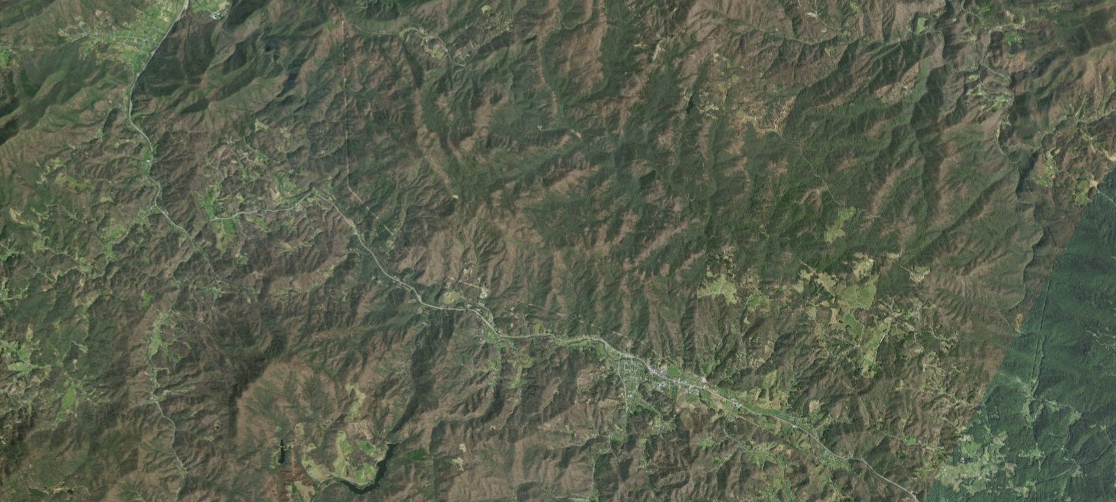
 Imagery: USGS / CopernicusOpen in Map
About this site
A.T. MORELAND GAP SHELTER (Camping Area) Additional Info: Basic three-sided concrete block shelter with open front and wooden sleeping platform. Capacity for 6 people. A spring is located 0.2 mile down the hollow across from the shelter. No privy. Located directly on the Appalachian Trail at 3,813 feet elevation on White Rocks Mountain between Dennis Cove Road and US 19E. Maintained by Tennessee Eastman Hiking and Canoeing Club on USFS land.
Amenities & access
Access
- Hike-in access
Contact
Location
36.220118, -82.088314
Elevation · 3,865 ft
Weather



Reviews
No reviews yet. Be the first to review A.T. Moreland Gap Shelter.
More campsites in Tennessee
Browse backcountry sites in TennesseeManchester KOA
CampgroundTennessee, United StatesBunch Hollow Campground & Resort
RV ParkTennessee, United StatesCAMPGROUND A
CampgroundTennessee, United StatesWoodsmoke Campground
RV ParkTennessee, United StatesPaint Creek Campground
CampgroundTennessee, United StatesPigeon River Campground
RV ParkTennessee, United States


Camp smarter with the Campsite app
Save A.T. Moreland Gap Shelter to a list, get directions, leave a review, and explore thousands more campsites on the map.

