
A.T. Clyde Smith Shelter
BackcountryFreeTennessee, United StatesNo reviews yet

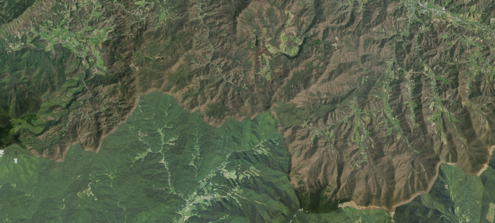
 Imagery: USGS / CopernicusOpen in Map
About this site
A.T. CLYDE SMITH SHELTER (Camping Area) Additional Info: Three-sided wood shelter with metal roof and covered front porch. Capacity for 10 people. Located 120 yards from the Appalachian Trail on a blue-blazed side trail, south of Little Rock Knob between Hughes Gap and Iron Mountain Gap. Built in 1976 by U.S. Forest Service. No privy. Water source located 200 yards west down a steep hill on blue blaze trail. Elevation approximately 4,400-4,600 feet. Maintained by Tennessee Eastman Hiking and Canoeing Club.
Amenities & access
Access
- Hike-in access
Contact
Location
36.148533, -82.161278
Elevation · 4,462 ft
Weather



Reviews
No reviews yet. Be the first to review A.T. Clyde Smith Shelter.
More campsites in Tennessee
Browse backcountry sites in TennesseeLazy Llama Campground
RV ParkTennessee, United StatesTrue West Campground, Stables and Mercantile
CampgroundTennessee, United StatesExpress RV Park
RV ParkTennessee, United StatesCedar Creek (tn)
CampgroundTennessee, United StatesUpper Laurel Fork
CampgroundTennessee, United StatesBlue Moon RV Park
RV ParkTennessee, United States


Camp smarter with the Campsite app
Save A.T. Clyde Smith Shelter to a list, get directions, leave a review, and explore thousands more campsites on the map.

